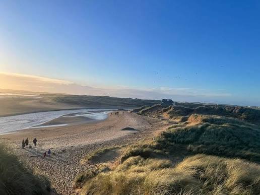
Walks and Trails from Rhosneigr
Three walks from the village and two from Aberffraw a short way down the coast, plus one big day out and the walk everyone's sharing.
1. Llyn Maelog and Traeth Llydan circuit
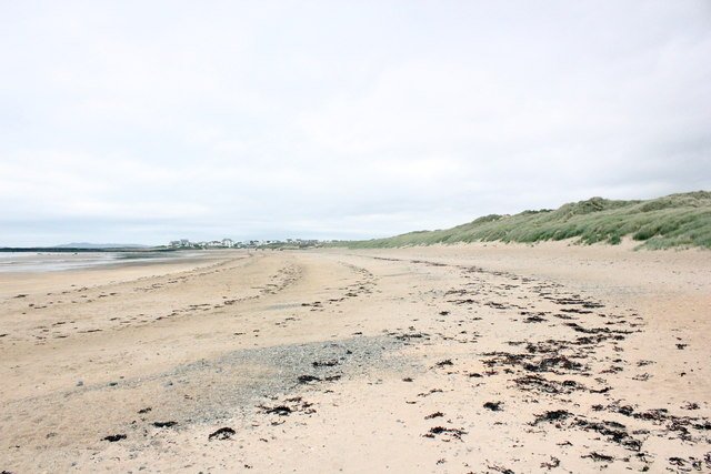
About 2.2 miles, circular, easy and flat. Allow about an hour.
Route: a boardwalk off the A4080 leads to a viewing platform at the water's edge. The path then loops the lake (except the southern shore), crosses the road and comes back over the dunes and along Traeth Llydan, which you'll hear called Broad Beach.
2. Traeth Crigyll to Cymyran Bay
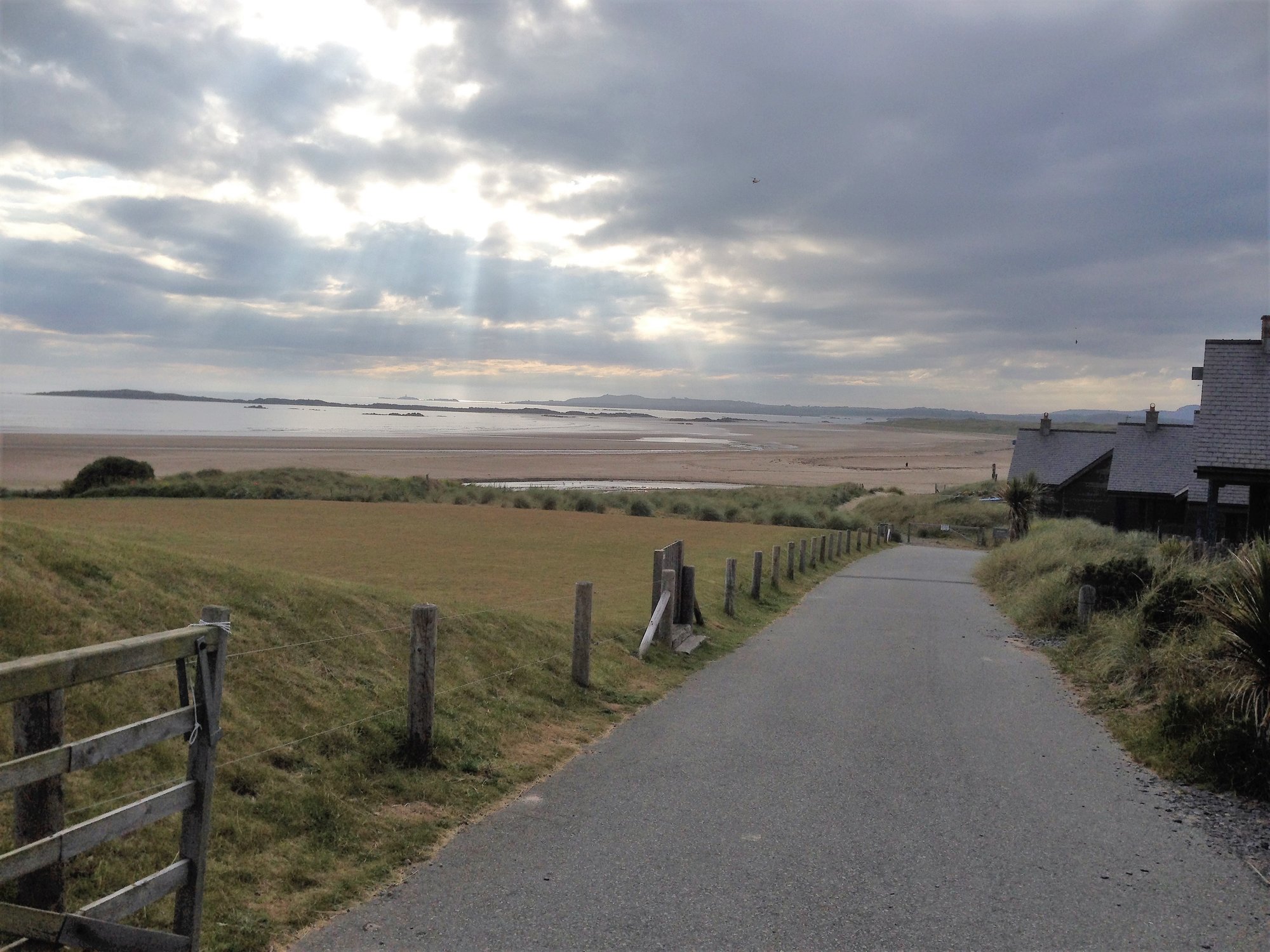
About 2 miles each way on sand. The tide decides your route.
Route: head north from the village and either wade the Afon Crigyll or cross the footbridge inland by the RAF Valley perimeter. Carry on past the Ynys Feirig rocks onto Traeth Cymyran, which runs out to the channel between Anglesey and Holy Island.
3. Rhosneigr to Barclodiad y Gawres and Porth Trecastell
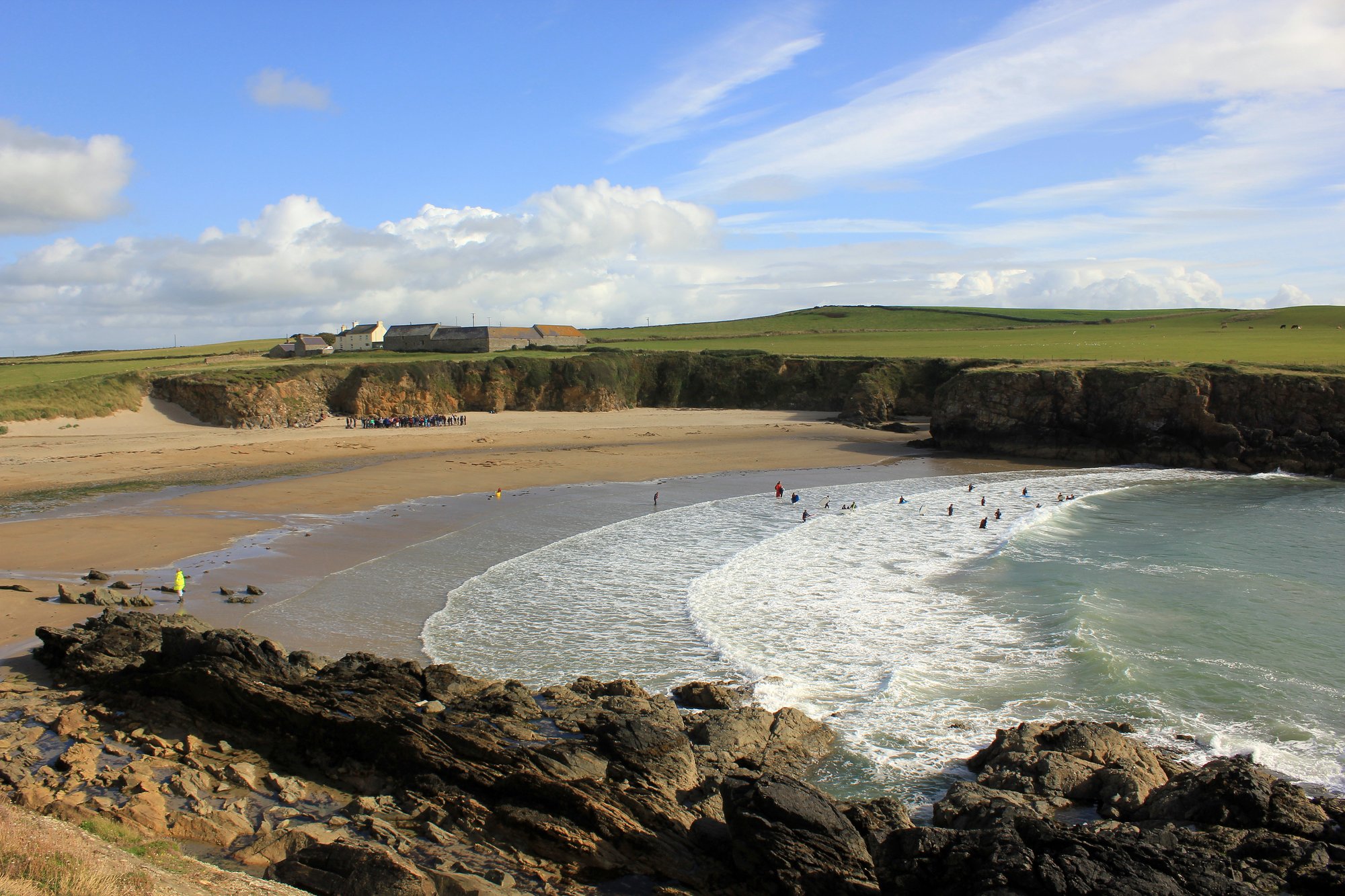
About 4.2 miles (6.8 km) circular. The best short stretch of the Wales Coast Path from the village.
Route: go south along Traeth Llydan, past Porth Tyn Tywyn and Porth Nobla, to the tomb on the headland. Drop into Porth Trecastell, then come back over the dunes.
4. Aberffraw to the Church in the Sea (St Cwyfan's)
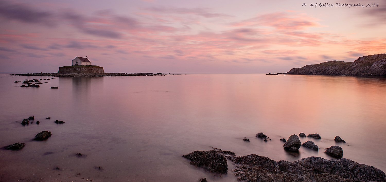
About 3 miles on the Wales Coast Path route. Go at low tide.
Route: start at Aberffraw's packhorse bridge (Hen Bont, 1731), follow the estuary, climb the Trwyn Du headland and carry on to Porth Cwyfan.
5. Aberffraw dunes and Traeth Mawr
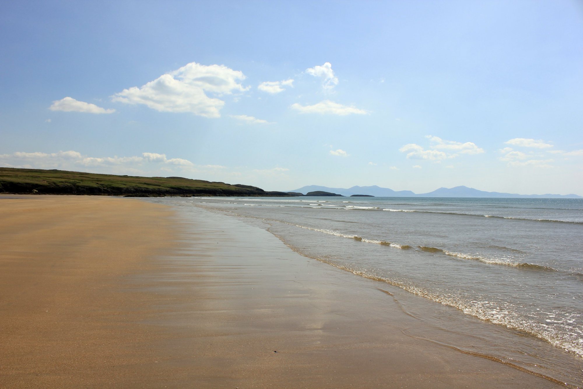
About 1 km through the dunes to the sea, then as far along the sand as you like.
Route: cross the 1731 bridge into Tywyn Aberffraw, which is common land open to walkers, and follow the dunes down to Traeth Mawr.
The viral one: Ynys Llanddwyn
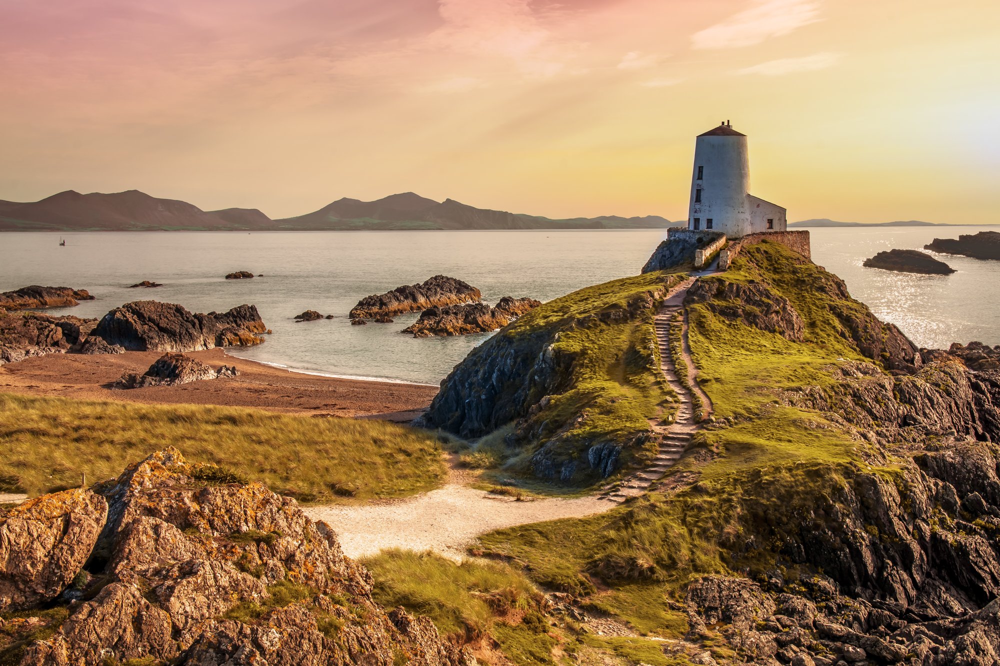
If you've been scrolling recently, you've probably seen it on your feed, captioned "You won't believe this beach is in the UK!" Between TikTok and the island doubling as a filming location for HBO's House of the Dragon, this quiet corner of Anglesey gets a lot more visitors than it used to. It's a short drive from Rhosneigr, past Aberffraw to Newborough.
The views of the Eryri (Snowdonia) mountains tumbling into the Irish Sea are entirely real. Doing the walk is a bit different from a 15-second clip.
| What the videos say | The local reality |
|---|---|
| "It's a hidden, empty gem." | It used to be. Newborough now gets heavy summer traffic, and the big beach car park still fills early. Come early or late. |
| "You can walk there anytime." | No. It's a tidal island. The sandy neck floods at high tide and cuts the island off for around 1 to 2 hours either side of high water. Check the tide tables before you set off. |
| "It's a quick stroll to the lighthouse." | It's flat and easy, but it's a 6 km (3.7-mile) round trip from the car park over loose sand, gravel and crushed-shell paths. |
| "Parking is free." | The car park has an automatic camera barrier. It's cashless, so you pay by card on the way out. |
Route: follow the Saint, Sand and Sea Trail, a moderate 7 km (4.4-mile) loop.
Big day: Aberffraw to Rhosneigr
8 miles (13 km) along the Coast Path, linking walks 4 and 3: the church, Porth Trecastell and the tomb.
Good to know
Common questions
- Are there route options if I would rather not walk on the beach?
- Yes. The Isle of Anglesey Coastal Path directions for Llyn Rhos Du to Aberffraw give a separate option headed 'Avoiding the beach', which continues along the lane to the old bridge over the River Ffraw at Aberffraw. The same directions note that a forest road beside the Malltraeth estuary on this section gets inundated by the tide, so check tide tables before you walk it. ADMIRALTY EasyTide publishes official UK tide predictions online. Wales Coast Path lists that same section at 13 miles / 21 km.
- Are the walks around Rhosneigr accessible?
- The Rhosneigr circular walk is graded easy by Visit Anglesey and is listed by Wales Coast Path at 2.25 miles (3.6 km). Wales Coast Path notes a fully accessible boardwalk to a viewing platform on the opening stretch. Visit Anglesey describes the route as short and flat around Llyn Maelog and along Traeth Llydan.
- How far is the Llyn Rhos Du to Aberffraw coastal path section?
- Wales Coast Path lists the Llyn Rhos Du to Aberffraw section at 13 miles (21 km) and names National Nature Reserve, dunes, conifer forest, beach and Llanddwyn island along it. Visit Anglesey publishes the same section as about 13 miles and grades it challenging. It is a full-day section rather than a stroll from the village.
- Can I take a dog on the coastal path near Rhosneigr?
- The Visit Anglesey listing for the Llyn Rhos Du to Aberffraw coastal path section has 'Dogs welcome' among its amenities. Wales Coast Path also publishes the shorter Rhosneigr circular walk near the village. Dog rules on beaches are set separately by Isle of Anglesey County Council and apply only to the beaches the council names.
- Is there a circular walk from Rhosneigr?
- Yes. There is a circular walk linking Llyn Maelog and Traeth Llydan near Rhosneigr village. Wales Coast Path lists it as 2.25 miles (3.6 km); Visit Anglesey gives about 2.2 miles and grades it easy. The route is a short, flat, clockwise loop around the lake, then along the beach. The opening stretch has a fully accessible boardwalk to a viewing platform.
Details in this guide were checked in October 2026.
Been here? Share a photo.
Related guides
Photo credits
- Traeth Llydan. Photo by Jeff Buck, CC BY-SA 2.0, via Geograph.
- Traeth Crigyll. Photo by Eirian Evans, CC BY-SA 2.0, via Geograph and Wikimedia Commons.
- Porth Trecastell. Photo by Jeff Buck, CC BY-SA 2.0, via Geograph and Wikimedia Commons.
- St Cwyfan's, the church in the sea. Photo by Alf Bailey, CC BY-SA 3.0, cropped, via Wikimedia Commons.
- Traeth Mawr, Aberffraw. Photo by Jeff Buck, CC BY-SA 2.0, via Geograph and Wikimedia Commons.
- Llanddwyn Island lighthouse. Photo by Mark Warren 1973, CC BY-SA 4.0, via Wikimedia Commons.